Continued thread


No, I've neither been on Easter Islands nor in ancient Egypt. Those stone figures just look that way. 


No, I've neither been on Easter Islands nor in ancient Egypt. Those stone figures just look that way.


#DoomsDay seems near. At least, considering how dramatic and threatening those clouds look.


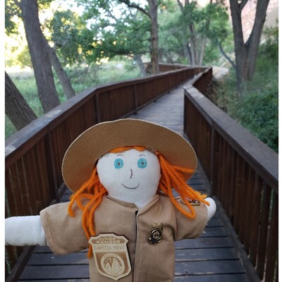
Up We Go!
Feeling proud, we just overtook a three-year-old. Getting near the summit of Litlefjellet. #TrailTuesday
Isfjorden, Norway 
 62°30'24" N 7°47'36" E

 with bare trees on a sunny day.")
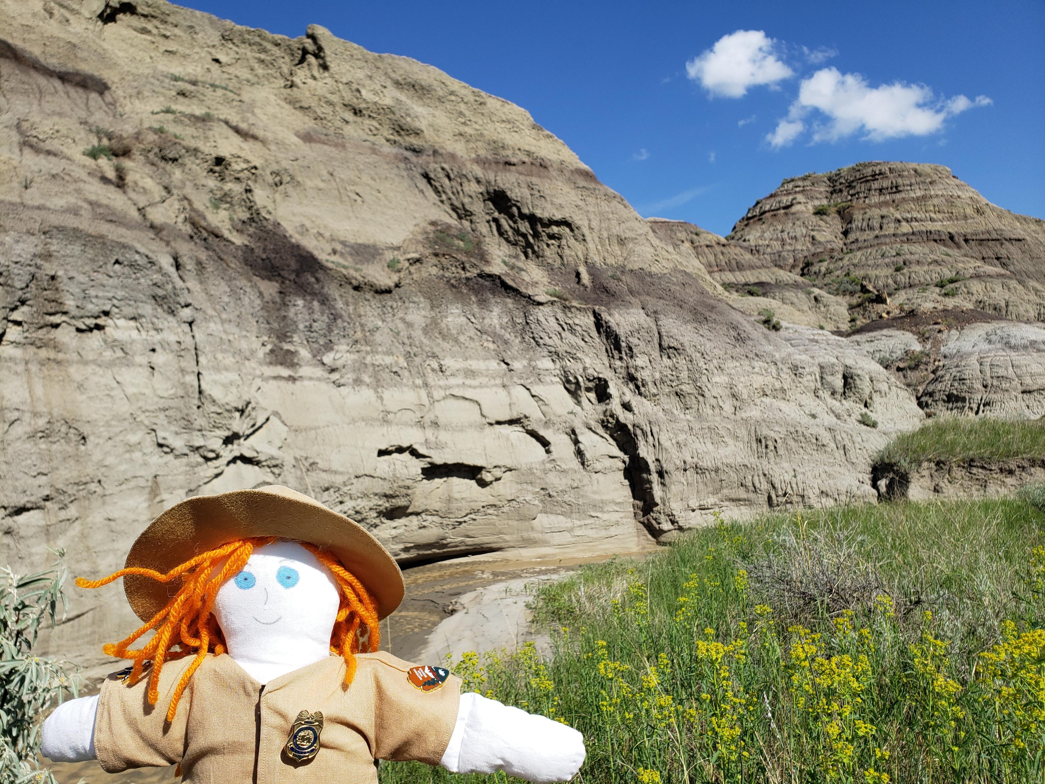
With the creek cutting in to the hill side, Ranger Sarah thinks this will be the next place to discover a fossil. William Clark described the area as “birnt hills” from when Clark and his party camped in what is now the Glendive area on their return journey down the Yellowstone.
— at Makoshika State Park.
Ranger Sarah is about to enter the badlands in Makoshika State Park. The badlands of Makoshika are part of the celebrated Hell Creek Formation, famed worldwide as one of the richest caches of dinosaur fossils on the planet.
— at Makoshika State Park.

Ranger Sarah hikes out towards the badlands along the Diane Gabriel Trail. Makoshika is also a world-class fossil bed and a place of incredible scientific importance, especially to paleontologists.
— at Makoshika State Park.

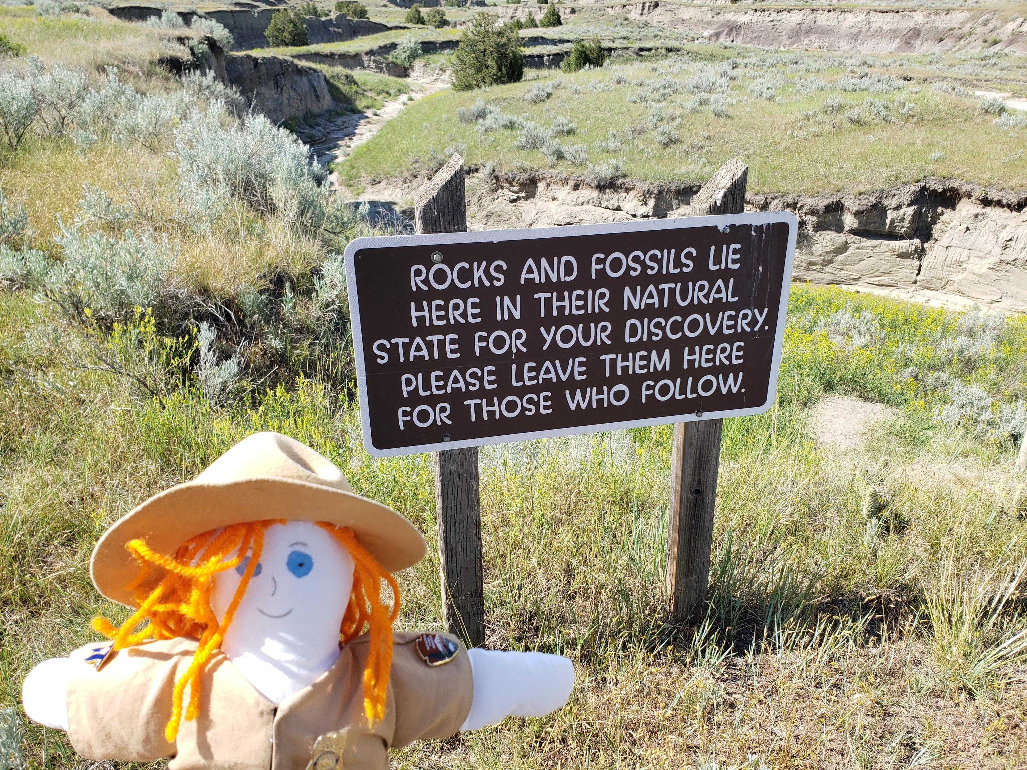
Ranger Sarah is hoping to see some fossils along the trail. In 1997, a fossil thescelosaurus considered to be the largest and most complete skeleton of its kind was found here.
— at Makoshika State Park.
Ranger Sarah gets ready to hike the Diane Gabriel Trail at Makoshika State Park.

Ranger Sarah takes in the view of the badlands as she hikes back to the trailhead.
— at Theodore Roosevelt National Park.

The vegetation is so thick though here that Ranger Sarah has to look at her feet in order to tell where the trail is.
— at Theodore Roosevelt National Park.

The trail seems to be taking Ranger Sarah through some more trees.
— at Theodore Roosevelt National Park.

Ranger Sarah exited the trees to get a nice view as she passes another trail marker on the Buckhorn Trail.
— at Theodore Roosevelt National Park.

Ranger Sarah hikes through very tall vegetation along the Buckhorn Trail. Yes their is a trail here.
— at Theodore Roosevelt National Park.

Ranger Sarah looks across the grasslands. When the underground coal fire was burning, this area looked more like a wasteland than a grassland.
— at Theodore Roosevelt National Park.

Ranger Sarah crosses a bridge on the Coal Vein Trail
— at Theodore Roosevelt National Park.

Ranger Sarah follows the rolling Coal Vain Trail. If you noticed any Blue-grey rock layers that is Bentonite clay which is made of ash from distant volcanoes.
— at Theodore Roosevelt National Park.